SNB Map Book: Page / Map Name: Page 91 / Musquash 21G/01
Direct quote from the post as I thought it may be hard to read, however if you click on the image and zoom in it should be fairly easy.
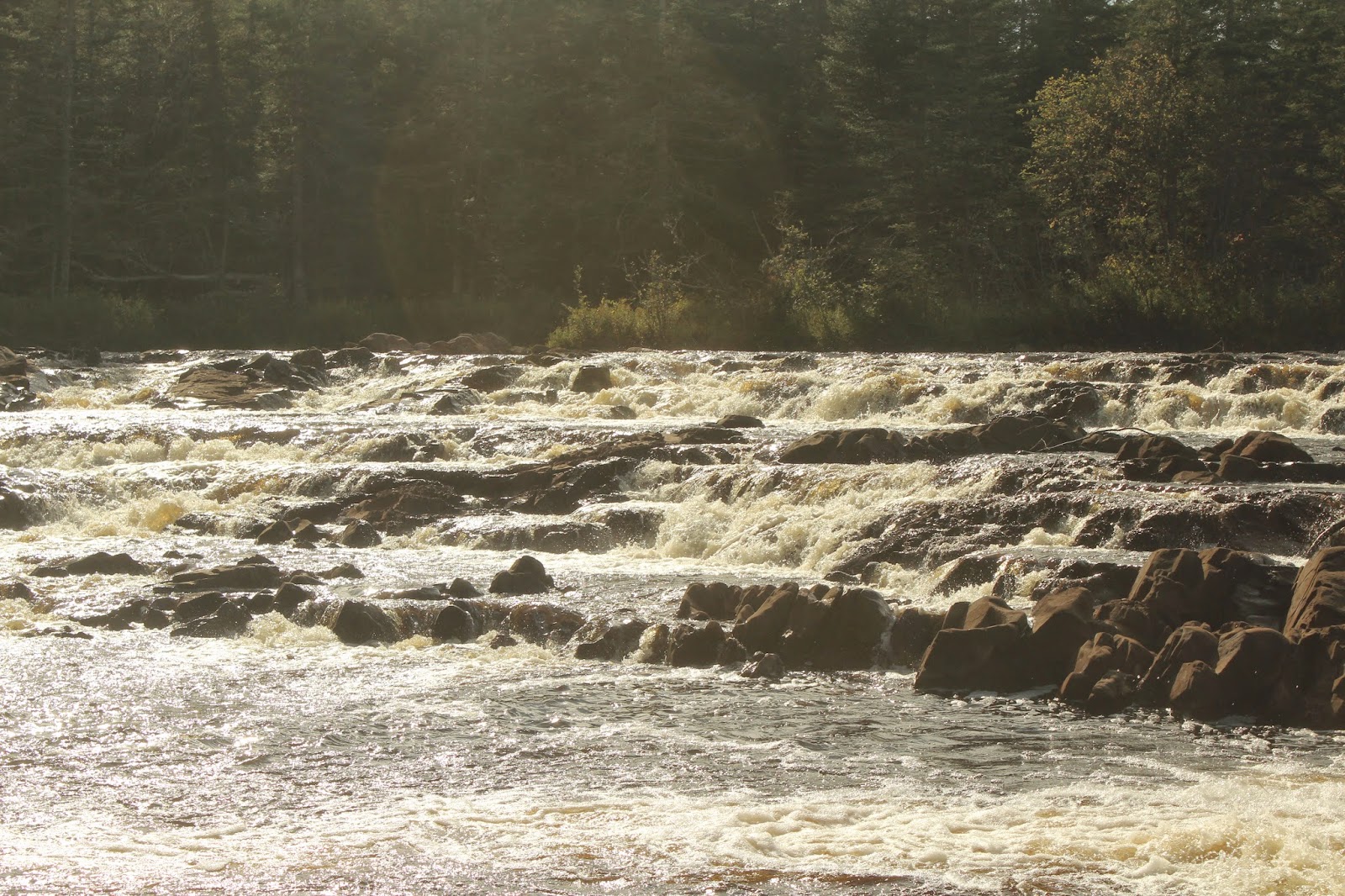
Running Rum
“This location below Lepreau Falls was important to smugglers during the United States Prohibition years (1920-1933), when the sale of liquor was illegal in the United States. At night, in this relatively isolated spot, the bootlegger could load his boat with liquor without being seen. Quietly he would travel out to a ship waiting for him about 8 kilometers
offshore.

offshore.

The ship’s captain would pay the bootlegger well. Liquor smuggled from New Brunswick to Maine sold for top dollar on the black-market.”


 The geopark covers 2500 square kilometers and extends from Lepreau Falls to Norton and from the Fundy Trail to the Kingston Peninsula. There is strong evidence that the rocks are very likely to be early carboniferous age that is about 315-325 million of years old


No comments:
Post a Comment